Data as an important basis for our analysis
At Plan4Better, we recognize that data is the fuel powering our analyses, making it our most valuable asset. To deliver accurate insights based on high-quality information at reasonable costs, our applications GOAT and Map4Citizens integrates diverse sets of spatial and non-spatial data from various sources. However, processing inconsistent geospatial data from different sources with varying degrees of accuracy can pose a significant challenge. To address this issue, we leverage a range of techniques, including efficient data integration, disaggregation, and fusion workflows, to ensure seamless data handling.
Data collection and data preparation
The process of data collection involves gathering and assessing information from various sources to meet the specific requirements. To this end, relevant data sources are identified and the data is collected ideally from open data portals or initiatives available to the public. Depending on the data source, different data schemas and formats such as shapefiles and GeoJSON may be used. Therefore, it is crucial to prepare and convert the data into a common schema and format for consistency and comparability.
At GOAT, we ensure our data remains up-to-date by updating it at least once a year. However, more frequent updates are possible when necessary, especially for rapidly changing points of interest (POIs). The figure below illustrates the core datasets used, and each dataset is further described in detail.
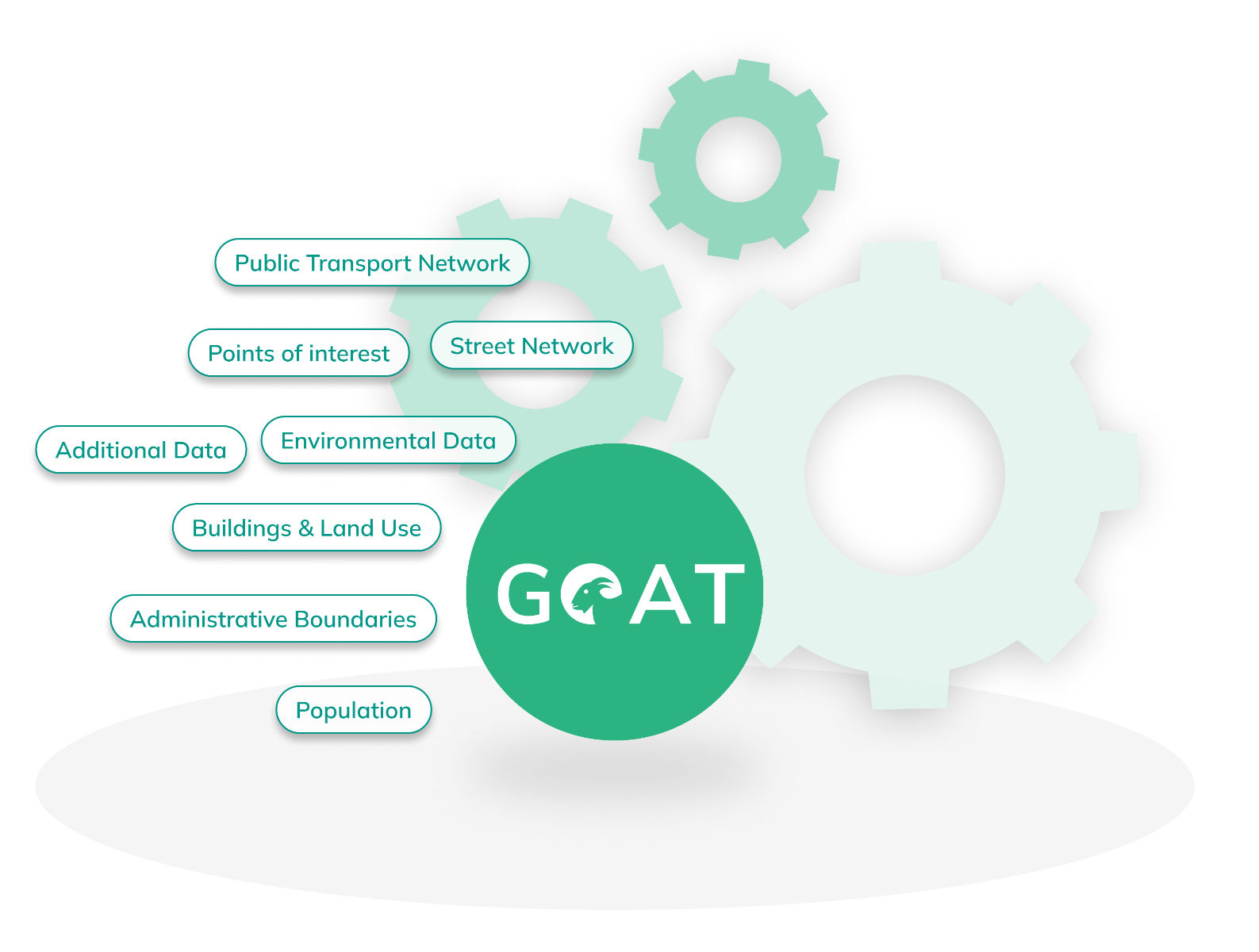
Points Of Interest: For POIs a combination of diverse data sources is used. Among OpenStreetMap OpenStreetMap (OSM), we are using a wide range of other sources, including data from ministries and public authorities, as well as health insurance and retail companies. The different datasets are combined using a combination of automated and manual processes. Meanwhile, the data is checked for completeness and accuracy. When needed also own field data collection is carried out.
Population and Buildings: The population is disaggregated to the building level based on census data and district or municipality population counts, as well as various land use data. The processing is supported by 3D city models where available.
Public Transport Network: For the public transport network and schedule, GTFS (General Transit Feed Specification) data is used to provide realistic and temporal dynamic travel times for public transport.
Administrative Boundaries: The data is used to delimit the boundary of a geographical area under the jurisdiction of some governmental or administrative entities, such as municipalities, districts or counties.
Street Network: For walking and cycling, OSM is mainly used, but the road network data is flexible, so some other datasets are used as well. For cars, calibrated car routing networks from commercial providers are used to calculate travel times including varying network saturation at different times of the day.
Additional Data: There are a number of other datasets that allow users to connect geoportals and enhance the visualisation by choosing from different base maps. In addition, elevation models, street noise and accident point data sets are used to improve and vary the analysis carried out using GOAT.
Data integration and data fusion steps are applied to combine the different data sets and are adapted to the local context. Moreover, further data processing steps (accuracy, completeness, reliability, relevance, and up-to-dateness) are also implemented to obtain an accurate and reliable data set. Furthermore, we are flexible to include additional datasets and data sources as needed.