The First Release
I am happy to announce that time has come for the first official release of Geo Open Accessibility Tool (GOAT). This first version already unifies some key features but much more will follow.
The people who have followed the GOAT project know that the development started way back with my Master thesis one and half years ago. Meanwhile the development became an important part of the PhD that I want to start soon and my daily work at the Chair for Urban Structure and Transport Planning at the Technical University of Munich.
It has taken a reasonable amount of time to release this first experimental version of GOAT that can be freely and openly shared with you. I would like to thank all early adopters of GOAT , my colleagues and students, and especially Majk Shkurti for helping me out when my front-end skills came to their limits. This first release of GOAT is an initial step since GOAT still has numerous features that are work in progress. That is to say that there will be frequent enhancements and new features in the coming weeks, months and years. This site should not only serve the purpose of hosting the GOAT application but also play a vital role in acting as a contact point for the conceptual basis of GOAT and its documentation. Currently, there is very limited documentation at this site but frequent additions will be done!
The Features
As first guidance the following videos shall help to understand the core features of GOAT.
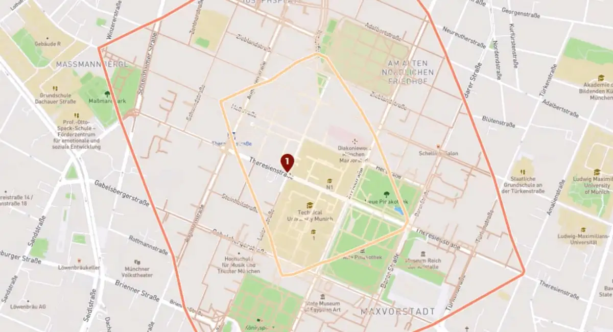
This first video shows how to calculate walking isochrones at different places and how to compare their results. It also shows you how to export your calculation into common formats like GeoJSON or shapefiles.
The next video shows the interactive network modifications feature in action and gives the user an idea how this feature can be used to efficiently develop scenarios.
The third video is introducing the dynamic heatmap and shows how walking accessibility can be analyzed and compared in different neighborhoods.