The 15-Minute-City
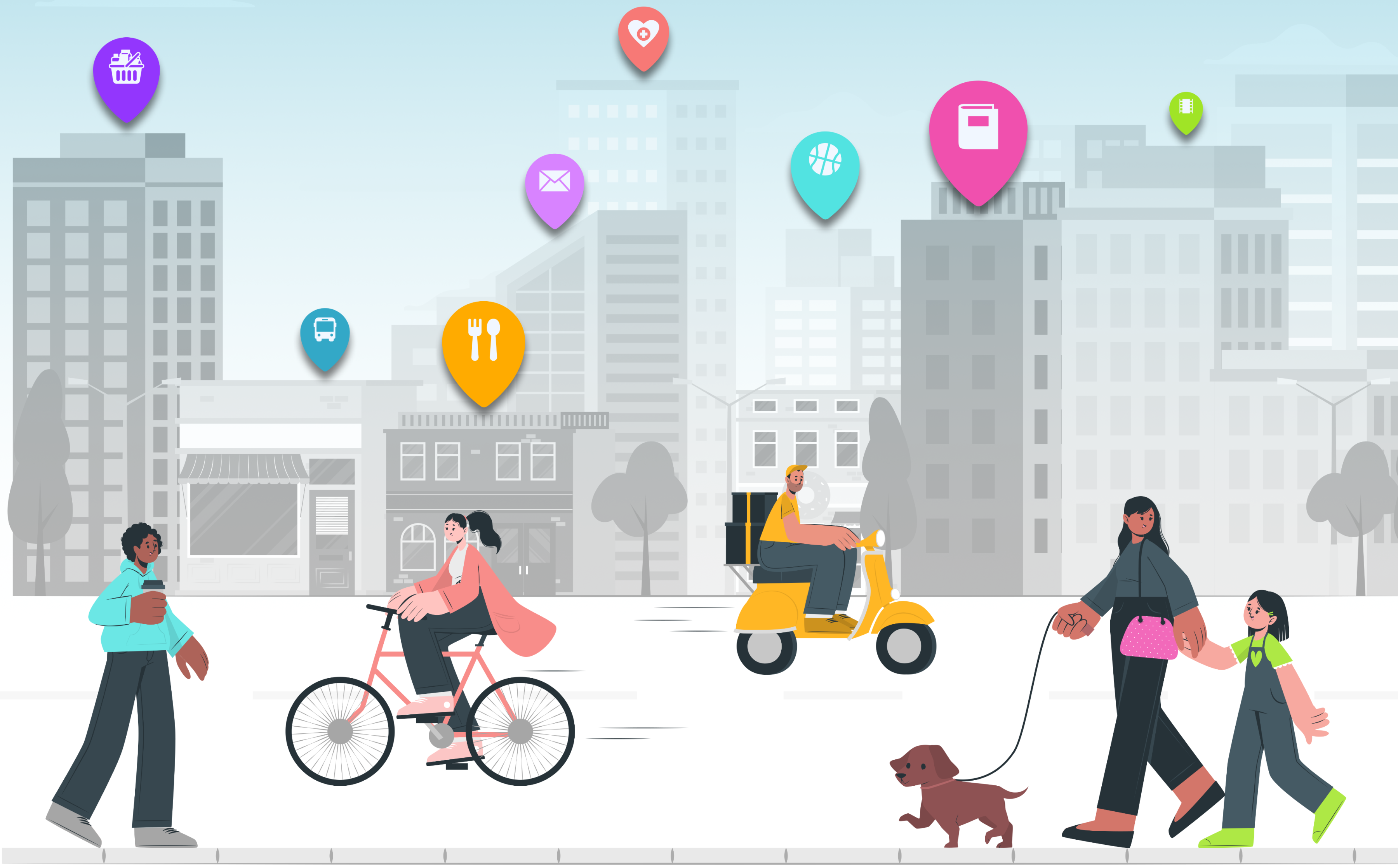
The 15-Minute City is at the center of the accessibility paradigm in urban planning today. In contrast to traditional planning approach, that tend to expand roads as soon as traffic capacity is exhausted, the 15-Minute City aims to bring residents’ everyday needs and destinations closer to them. It’s about enabling people to reach their essential facilities and activities within a 15-minute walk, bike ride, or by using public transportation.
A complex aspect of this concept is considering the individual needs of the population. Since no one has the same daily needs, it is of great importance that urban planners take on an inclusive approach of the diverse groups in society. By understanding and incorporating the needs and circumstances of different population groups, they can create an inclusive and livable 15-Minute-City that meets the requirements and desires of all residents.
The four Accessibility Components
Academic discourse discusses four components of accessibility (Geurs and van Wee 2004): Land-Use Component, Transport Component, Temporal Component, and Individual Component.
Each of these components plays a crucial role in assessing and analyzing accessibility, allowing for a better understanding of various aspects and influencing factors (Geurs and van Wee 2004). As previously mentioned, a significant challenge in implementing the 15-Minute City and accessibility planning is to adequately consider the individual needs of different user groups.
However, the individual component is often overlooked in analyses (Merlin and Jehle 2023). To enable citizens to conduct personalized accessibility analyses tailored to their needs, we have developed Map4Citizens. In Map4Citizens, a personalized 15-Minute Score can be calibrated and displayed on an interactive web map. This way, the needs of different user groups can be visualized, and the individual component of accessibility can be illustrated. With Map4Citizens, for example, user groups have the opportunity to identify which residential area best meets their accessibility needs.
Sample Analysis for 4 User Groups
We carried out accessibility analyses for four exemplary user groups: a family, a student, a senior citizen and a couple without children. Depending on the user group, corresponding needs were assigned and visualised in a “Flower of Proximity “ (cf. Büttner et al. 2022). This shows how important proximity to various points of interest (POIs), e.g. educational institutions, shopping opportunities and mobility options, are to people. Each petal represents a topic category. The darker the colour, the more POIs are important for the user group in this category and the smaller the petal, the closer the users want the POIs to be to their home.
The Family
The family values easy access to educational facilities and playgrounds, they occasionally visit cafes but does not have a strong preference for restaurants. They have their own car but would like a nearby bus stop and other mobility options. Due to time constraints, a gym must be reachable within 10 minutes.

The Student
As a student without his own vehicle, he values proximity to public transport stations and the availability of bike and car sharing stations. He likes to study in cafés and visit bars with his friends. He is a vegetarian, so a butcher’s shop is not on his list of priorities.

The Senior
The senior citizen does not need educational facilities, but would like playgrounds nearby for her grandchildren, convenient access to public transport and short distances to supermarkets, bakeries and butchers.

The Childfree Couple
The childless couple enjoys going to restaurants and cafes, meets friends in bars on Fridays and has their own car. They also value the presence of a nearby pharmacy, ATM, bank, gas station, and post office, occasionally visits cinemas and museums, and is willing to travel a bit further.

Results: 15-Minute Scores
Based on the “Flowers of Proximity”, the 15-minute score for Munich was calculated for each user group. It shows in which areas the individual preferences can be best fulfilled. The green areas on the map mark districts that fulfil the needs of the user group well, while the red districts cover the needs less well.

The two user groups without transport (the student and the senior citizen) have a much smaller area in Munich in which to live and fulfil their daily needs. The couple without children, who are prepared to travel the longest distances to the various destinations, have the greatest flexibility in terms of the “perfect residential location”.
It is also clear that the fewer specific needs a group has, the higher the 15-minute score in several neighbourhoods.
References
Büttner, Benjamin et al. (2022): ‘Urban Mobility Next 9 ±15-Minute City: Human-centred planning in action’, EIT Urban Mobility. Available: https://www.eiturbanmobility.eu/wp-content/uploads/2022/11/EIT-UrbanMobilityNext9_15-min-City_144dpi.pdf
Geurs, K., van & Wee, B. (2004): Accessibility education of land-use and transport strategies: review and research directions. Journal of Transport Geography 12, 127-140. https://doi.org/10.1016/j.jtrangeo.2003.10.005
Louis A. Merlin & Ulrike Jehle (2023): Global interest in walking accessibility: a scoping review, Transport Reviews. https://doi.org/10.1080/01441647.2023.2189323