April 2, 2026
GOAT

In partnership with the TUM Chair of Urban Structure and Transport Planning and Humankind, we're happy to announce the release of the beta-version of a new application: Map4Citizens.
Map4Citizens is supported by EIT Urban Mobility, an initiative of the European Institute of Innovation & Technology (EIT), a body of the European Union.
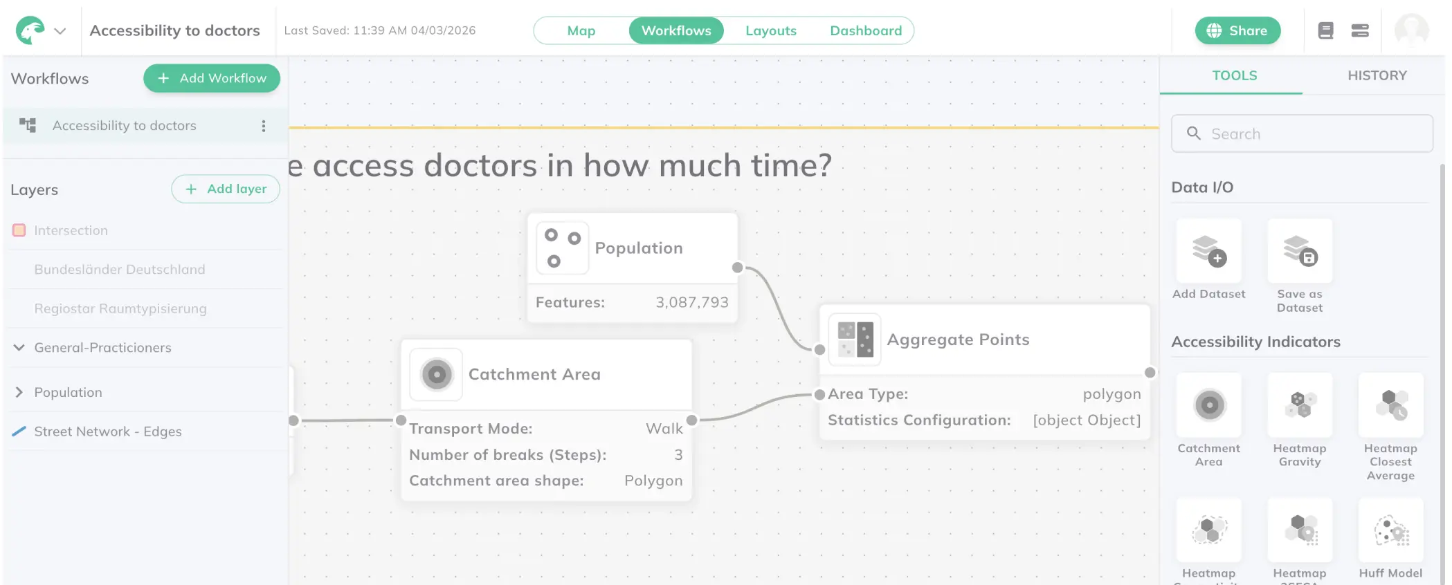
Within a 3-month project, we aimed to bridge the gap between citizens and planners, by opening data and providing reliable and easy-understandable urban and mobility analysis to everyone. Our project addressed this by developing a mobile-ready web-based application that allows users to quickly get an overview of important mobility-related parameters in their city and neighbourhood. That's how Map4Citizens was born.
Starting in October 2022, the project looked into the material gap between the information that planners have at hand and the information that citizens receive and, the cognitive and relevance gap between data and citizens.
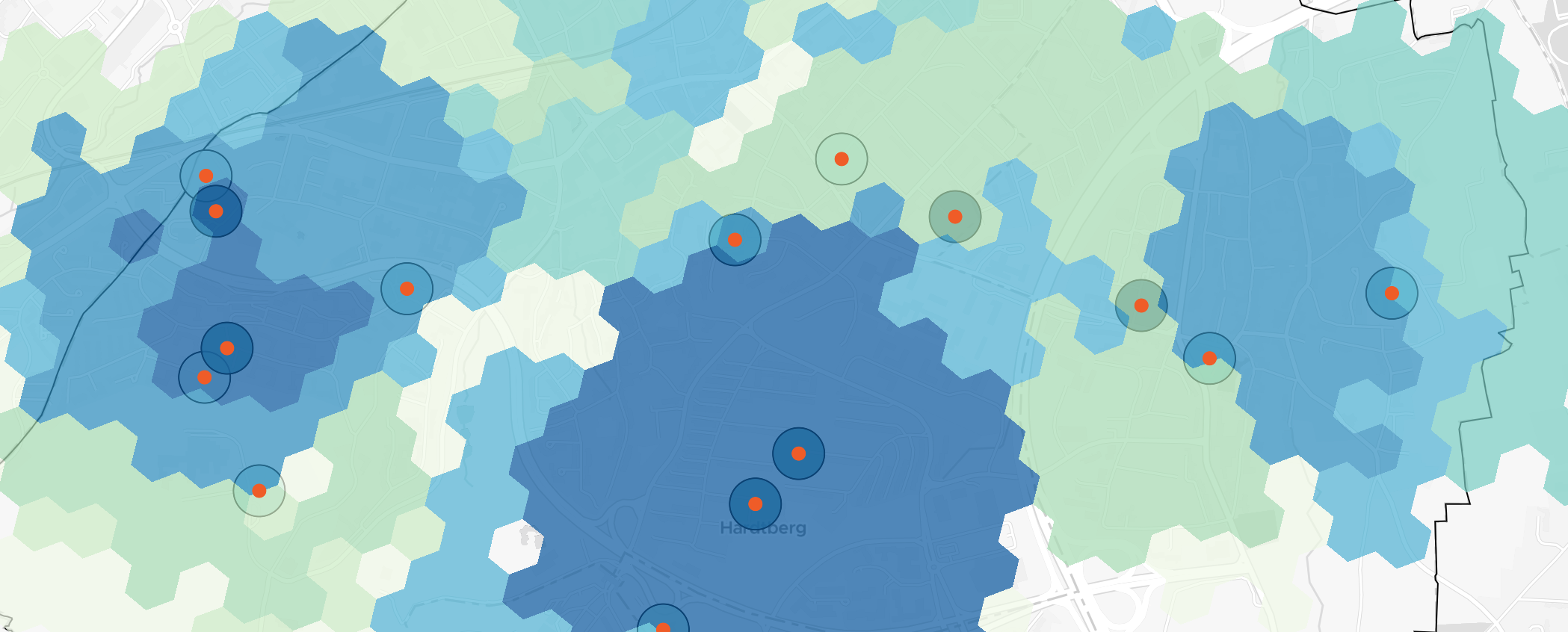
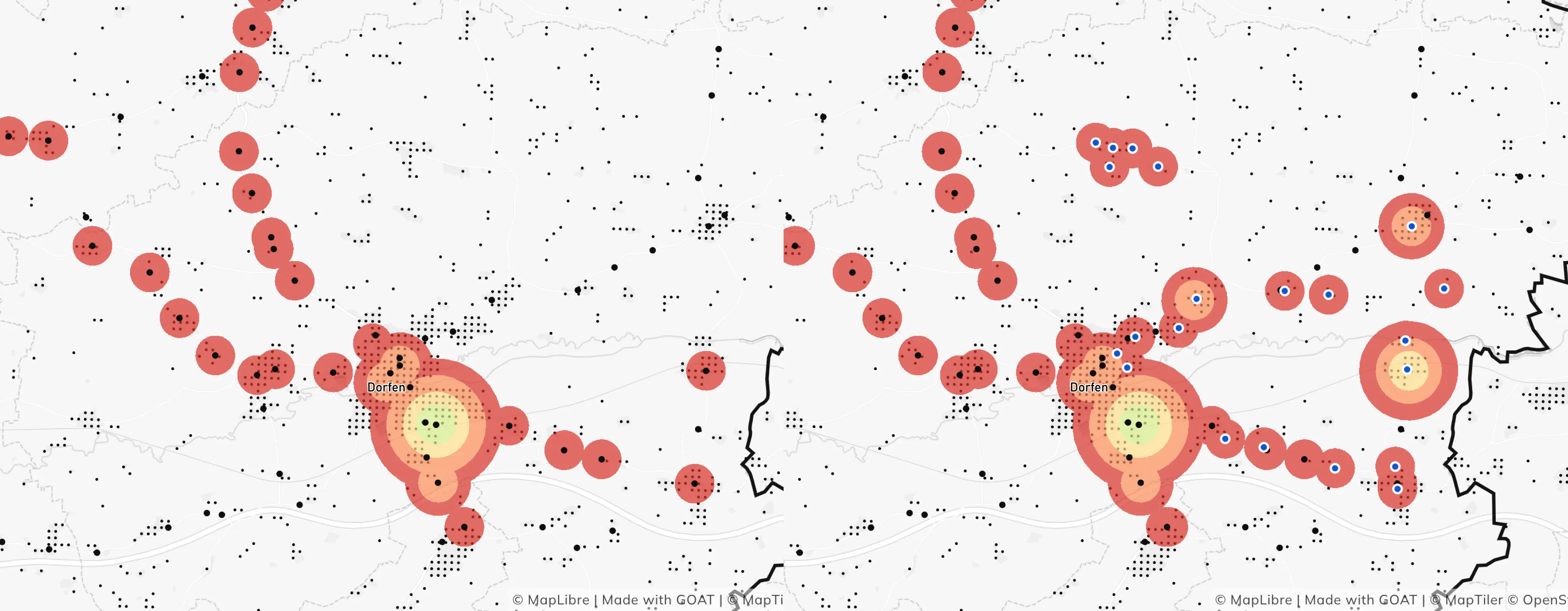
Although numerous cities provide a kind of CitizenGIS to their residents, they usually lack in information about mobility options and local accessibility – which are highly important if we want to foster sustainable mobility.
In a citizen engagement phase, the workshop’s participants confirmed their interest in better understanding our cities. They are thrilled by the "15-Min-City" and want to know how their neighborhood scores.

After studying the citizen's wishes and needs, we carefully developed an application concept and straight away started with the development of the first alpha version. In a usability testing phase, we got highly valuable feedback and plenty of input for a final development sprint.
Now, are happy to announce that the beta-version is online for Munich and ready to be used by its citizens: https://citizens.plan4better.de/.
The application is shaped all around the concept of the 15-min-city and comes with multiple functionalities:

Now it's your turn! How much does your neighborhood fulfill your needs? Whether you are a city planning pro or a resident, you get to see your cities mobility and local accessibility options with a simple click.
The aim is to develop this beta-version further into a multi-functional CitizenGIS, which can be offered to municipalities, counties and other public authorities worldwide as Software-as-a-Service - and made available to all their citizens. To shape the application according to the cities wishes and needs, we are currently looking for pilot partners. If you are interested, just get in contact with us!
Many thanks to all the highly engaged citizens and practitioners who participated in our workshops and usability tests! Thanks as well to the whole project team for the high efforts: TUM's team, led by Dr.-Ing. Benjamin Büttner, on conceptualization and research; Humankind Collective, led by Lior Steinberg, on citizen engagement and UI/UX design; and the support from EIT Urban Mobility.

From our side, Ulrike Jehle, Majk Shkurti, Sina Farhadi, Ebubeker Rexha, and Elias Pajares were involved in the project management and the application development.
GOAT
.png)
.jpg)
.jpg)


Whether you need state-of-the-art GIS technology, extensive datasets or expert advice – we are ready to help you shape a sustainable and liveable future for our community.