Plan4Better emerged from the Technical University of Munich, combining academic rigor with real-world expertise to advance GIS technology, consulting, and data-driven planning. Our multidisciplinary team unites web development, GIS, planning and design to deliver seamless, integrated solutions that empower smarter
decision-making for cities and communities.
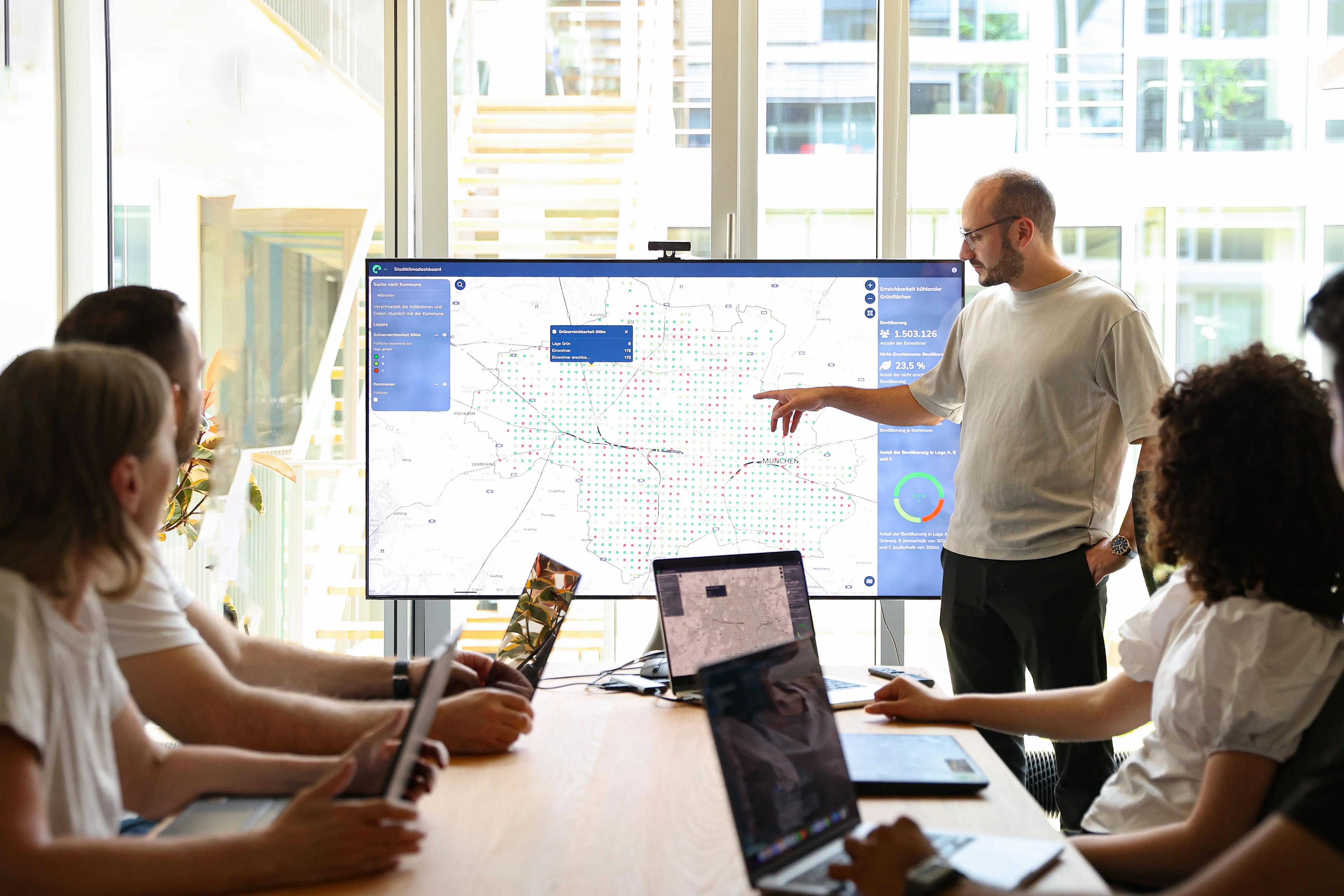
Our journey started researching at the Technical University of Munich, where we developed GOAT—Planning software that closes the gap between GIS and practical planning. What began as scientific research quickly became our passion, evolving through countless hours of coding, testing, and refining.
Through GOAT, we discovered a deeper conviction: planning needs new approaches to build sustainable and future-proof cities. That belief led us to found our own company — and the name came naturally: Plan4Better.
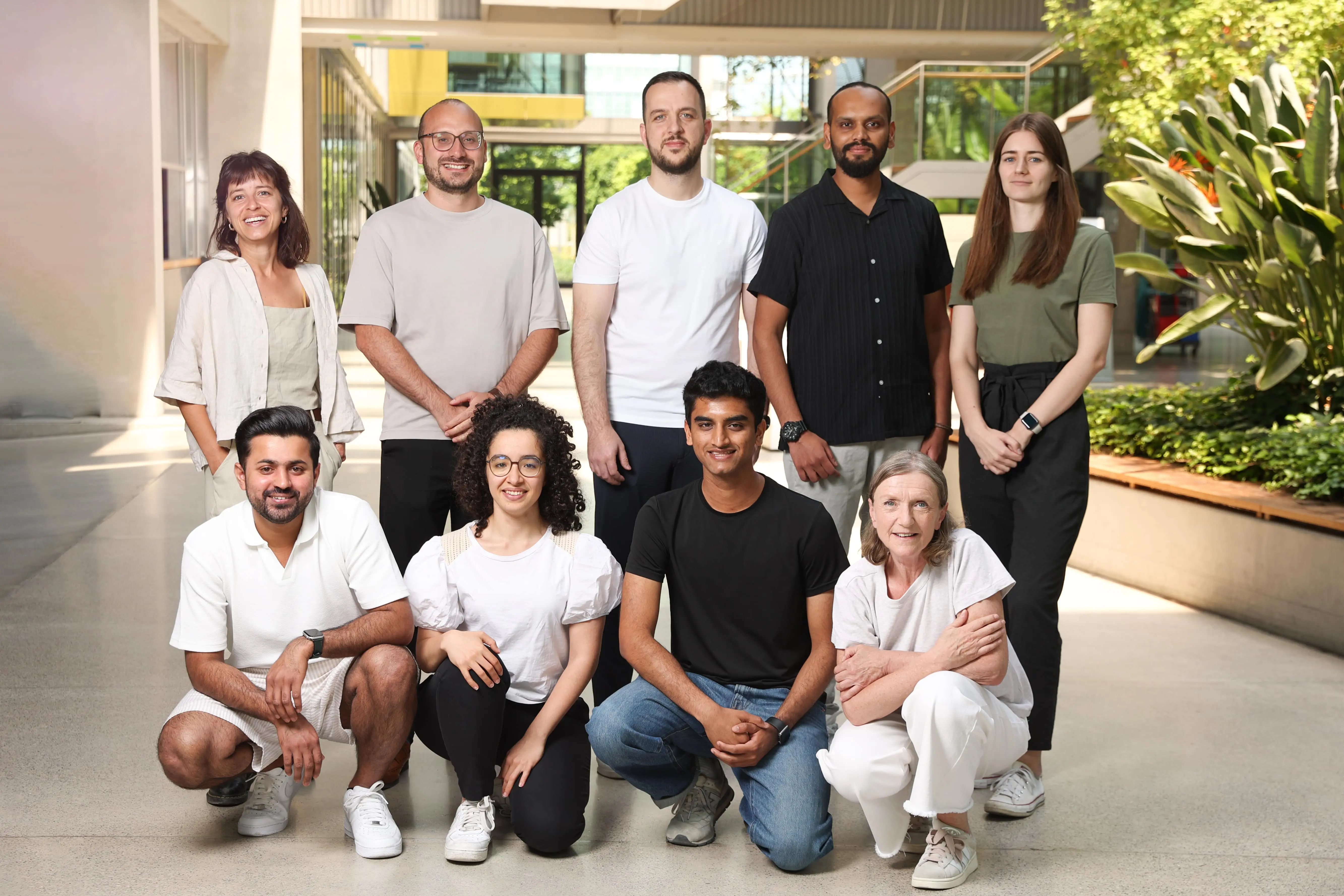
Since we founded our team has grown, our network has expanded, and clients across Germany and beyond are leveraging both GOAT and our consulting services in their daily work. Our motivation remains the same: we bridge science, technology, and practice, making urban planning more accessible, collaborative, and impactful.
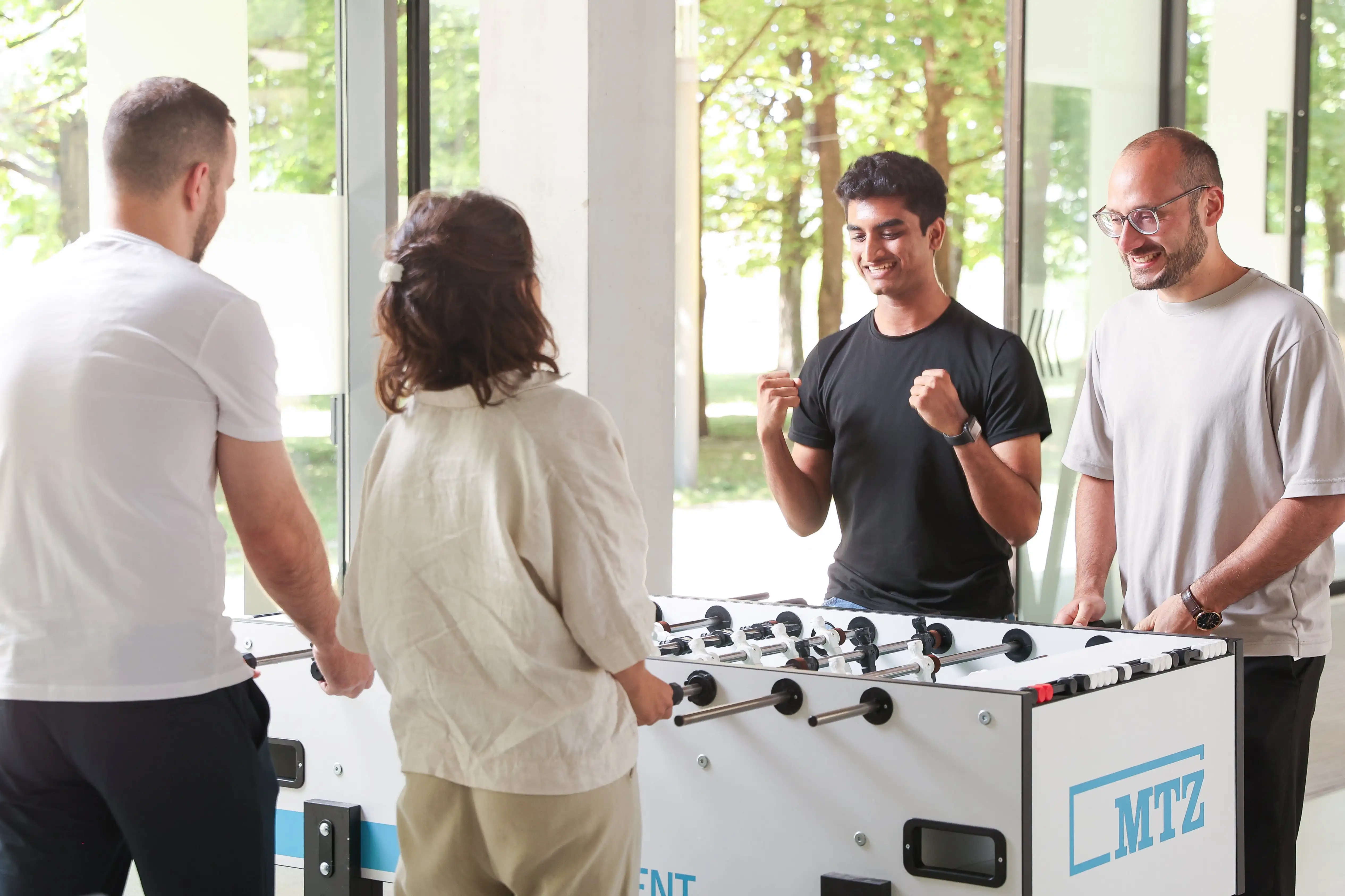
Our strength lies in merging diverse perspectives - where GIS experts, mobility planners, designers, developers, and strategists collaborate to create solutions that bridge theory and practice.
-11-min.webp)
As a trained transport and GIS expert, he leads the team and loves shaping a sustainable future with map- and data-based technologies.
-2-min.webp)
As seasoned WebGIS developer, he leads the development team with a passion for pushing the boundaries of geospatial technologies.
-9-min.webp)
With a keen interest in urban mobility, he combines back-end development, data analytics, and GIS to build solutions for cities.
She coordinates the different marketing campaigns and activities with a strong believe in a connected Sales and Marketing strategy.
-10-min.webp)
She leverages data analysis to advance mobility research and supports the development of next-generation geospatial technologies.
-5-min.webp)
GIS and transportation specialist focused on sustainable mobility through spatial analysis and planning.
-7-min.webp)
She combines design, cartography and UX to create maps and digital tools that enhance spatial understanding.
-8-min.webp)
She combines geospatial analysis with creative design, turning data on urban and mobility challenges into visually appealing insights.

With a background in ICT solution architecture, she combines analytical thinking and technical expertise to transform theoretical frameworks into real-world software solutions.
.png)
.jpg)
.jpg)


Whether you need state-of-the-art GIS technology, extensive datasets or expert advice – we are ready to help you shape a sustainable and liveable future for our community.