We develop integrated and forward-looking mobility concepts that combine planning expertise with data-driven analysis. Our concepts support municipalities and regions in shaping future-proof, sustainable mobility systems — from vision to actionable strategies.

Our services include
We design mobility concepts that enhance resilience to climate change impacts and promote sustainable transport solutions.
We engage stakeholders and communities through workshops to co-create locally rooted, user-oriented solutions.
We ensure mobility concepts align with local and regional strategic goals, regulations, and policy frameworks.
We analyze public transport, urban structure, and active mobility networks to identify strengths and weaknesses for sustainable mobility.
We model greenhouse gas balances and emissions to assess and reduce the environmental impacts of mobility plans.
We integrate evidence-based concepts such as the 15-Minute City into mobility strategies to support equitable, low-carbon, and spatially efficient urban development
Learn more about related projects.

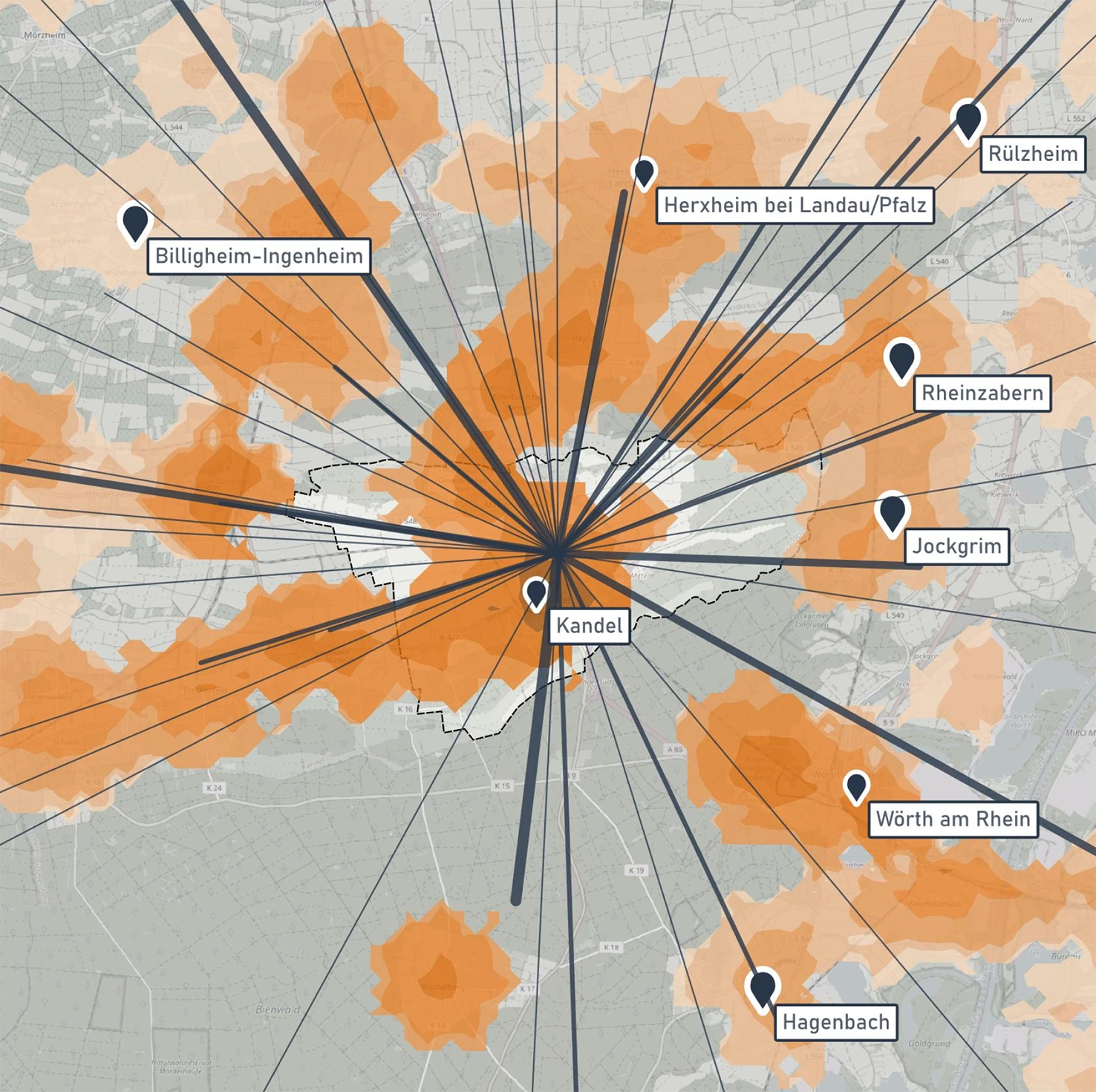
The Mobility Focus Concept for the city of Kandel aims to reduce traffic-related emissions and promote sustainable mobility by improving the cycling and pedestrian network, enhancing public transport, and integrating new mobility services.

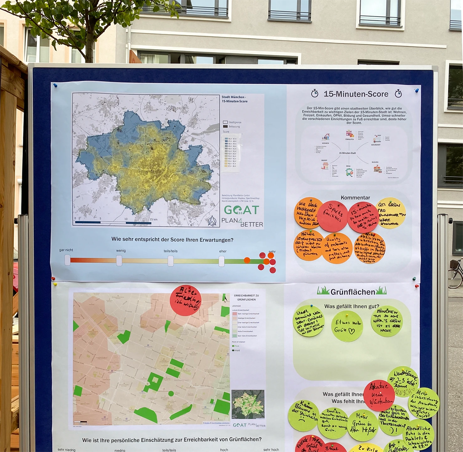
The Active Mobility Concept for Allach-Untermenzing combines detailed data analysis and active citizen engagement to create sustainable, tailored mobility solutions, directly reflecting residents’ daily needs.
- Analyze the current mobility situation using local and statistical data.
- Incorporate accessibility indicators generated with GOAT.
- Define strategic goals aligned with local, regional, or national mobility objectives.
- Develop tailored measures for implementation, including infrastructure, communication, and policy actions.
- Facilitate stakeholder participation and public engagement.
- Visualize findings and concepts through clear maps, diagrams, and digital tools.

.png)
.jpg)
.jpg)
.jpg)
.jpg)


Whether you need state-of-the-art GIS technology, extensive datasets or expert advice – we are ready to help you shape a sustainable and liveable future for our community.